PolarWatch Code Gallery
Browse selected Python code examples below.
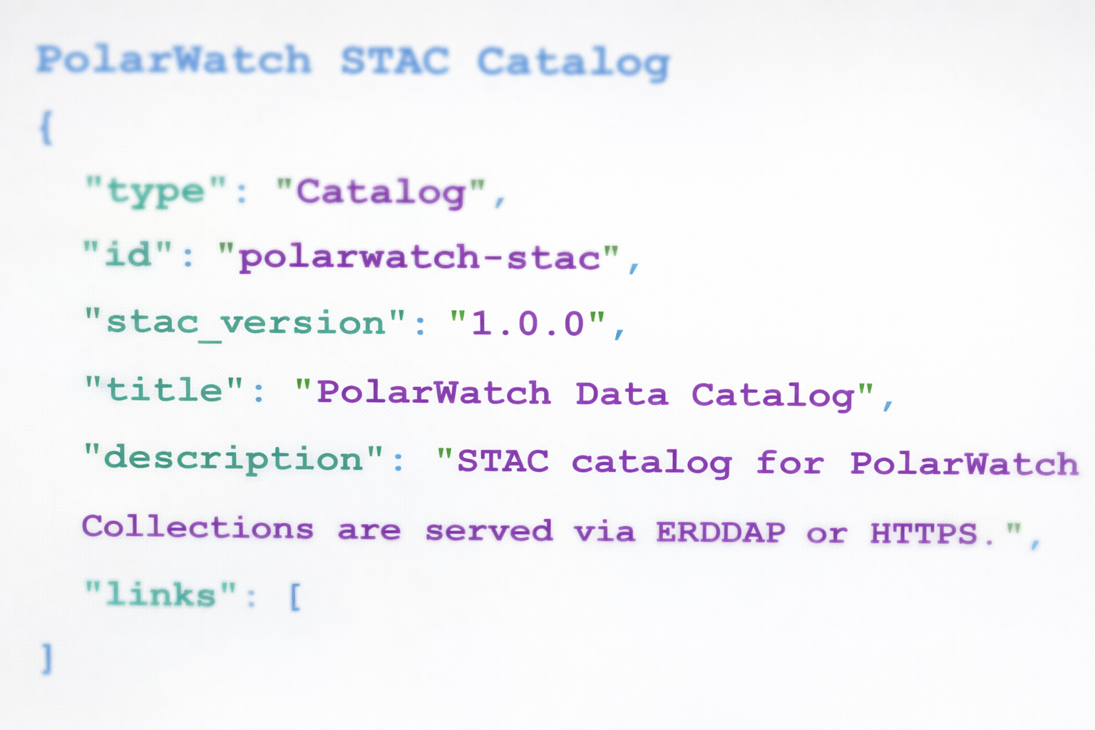
Discover Datasets
Explore the PolarWatch catalog programmatically and access datasets through ERDDAP or HTTPS.
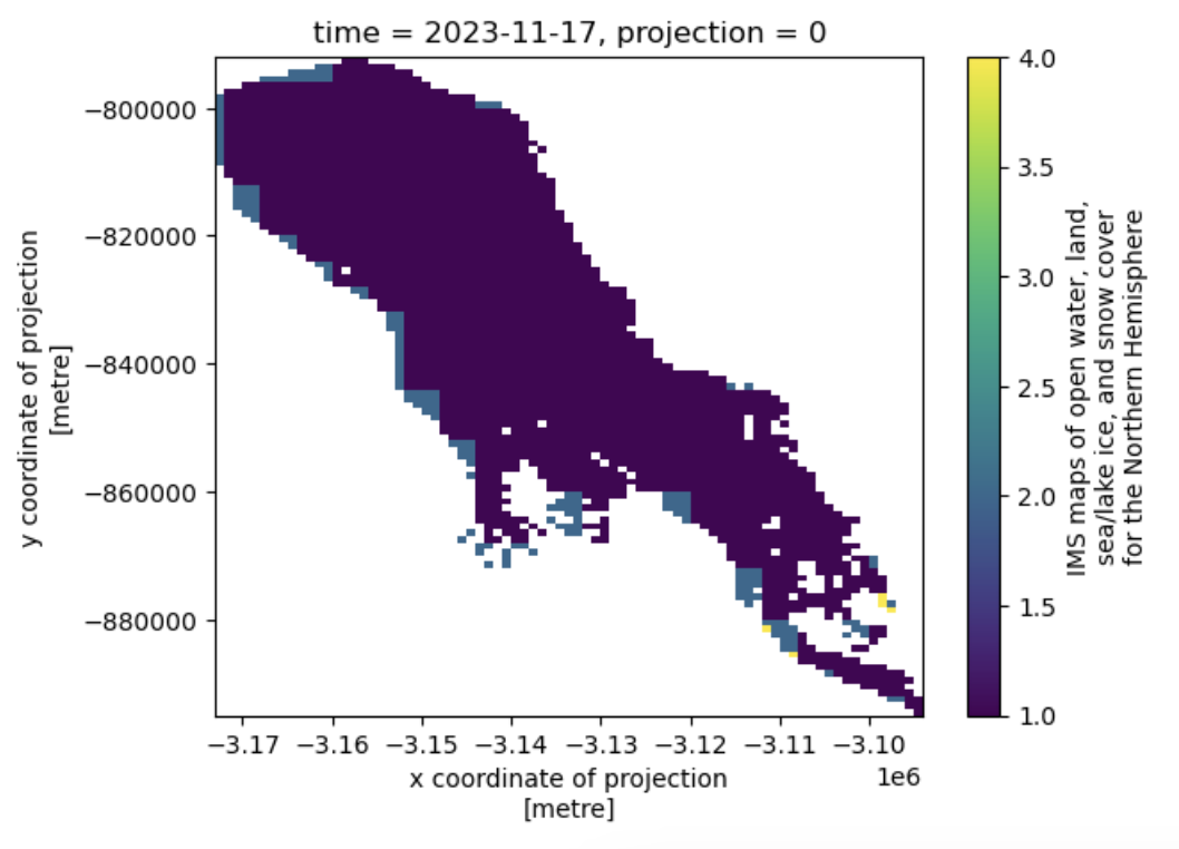
Subset Data Using a Shapefile
Follow an example to clip projected data using a shapefile in a different geographic projection.
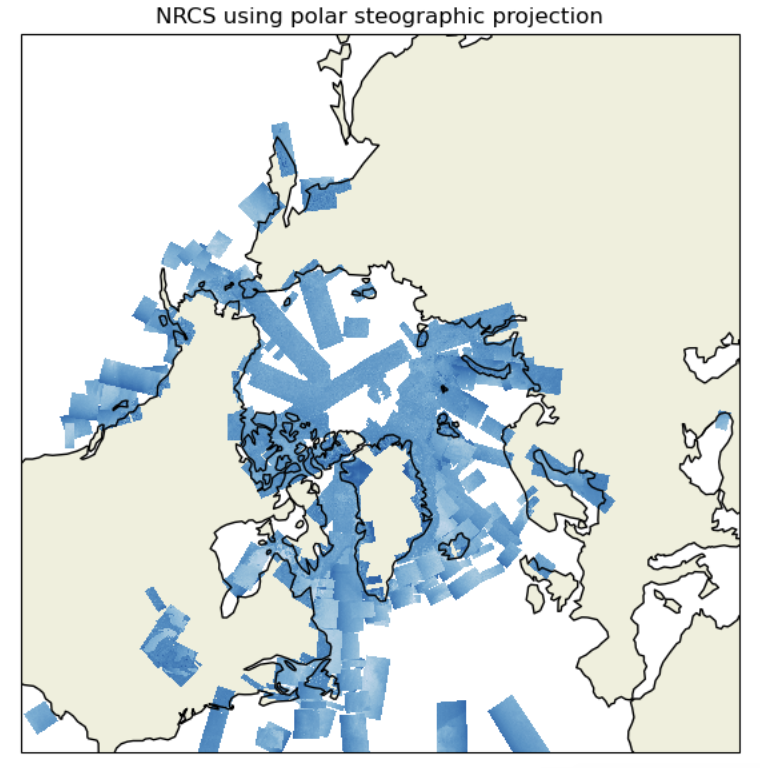
Convert Coordinates
Learn how to convert coordinates between different projections — a crucial step when working with geospatial datasets from multiple sources.
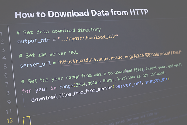
Download data
Learn how to download data from an HTTPS source using Python, a common workflow when accessing online datasets and APIs.